Archive for September, 2011
Trawling for science
Monday night Ali and I took off on the fisheries patrol vessel to do the OTEP transect work.
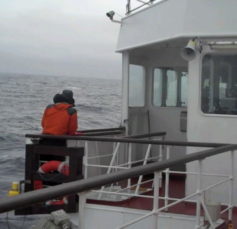
Ali was doing the bird counting which requires identification of all the birds and standing out on the bridge wing all day in the cold. I was doing the trawling which requires working in the night time hours. The first two trawls we did in Cumberland Bay East Ali showed me the ropes and after that I was on my own. We started as soon as it got dark and were done by 8pm.
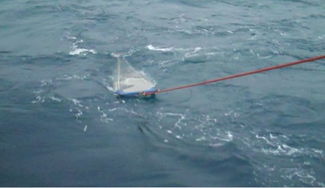
The trawl net consists of a square opening and at the end is what is called a cod end which is where the catch is collected it is dragged from the stern on a 100m line. The trawls in Cumberland Bay and Rosita are done one after another of 30 minutes each. So after replacing the first cod end with a new one you go up to the ‘lab’ the old pantry on the top deck and sieve the contents into a jar filled with ethanol. Then back down in time to chat for 15 minutes before doing the same with the second trawl.
Tuesday morning I was up at 6:00am to do one trawl before we started the bird count transects.
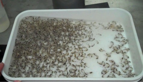
This was successful and looking at my Dave Barnes Nearshore Marine Life Guide there were a large number of amphipods called Themisto gaudichaudii.
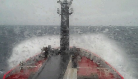
On Tuesday afternoon the wind built to force 8 and the sea bird transect was abandoned as the vessel had to be slowed so much in the large swell that Ali would have been out on the bridge wing till past dark and he was also seasick. All Tuesday night we plugged into the swell at 4 knots and reached Rosita Harbor for a 5am trawl.
We did two trawls in Rosita which is at 54 00 7S 37 26.1W one after another. Neither were a large haul. The first one had what I think is a Nuda ctenophore (combi jelly type organism without tentacles) and a fern like translucent organism which wasn’t in the guide (but I think is a type of diatom). The second trawl didn’t have much of interest except maybe one fish larvae.
As the sky became lighter (no real sunrise as it was overcast) the topography could be seen tussock atop 90m high cliffs with snow. We motored on into the Bay of Islands (54 00.0S 37 15 0W) and anchored in 30 meters of water just between Tern Island and Albatross Island with a view of the penguin colony at Salisbury Plain with binoculars!
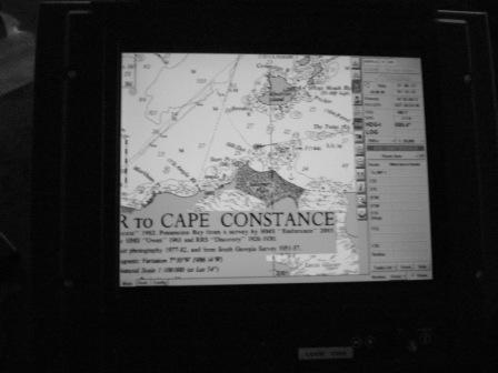
The penguin rookery extends quite surprisingly high up the hillside in some places considering the plain is the flattest area of South Georgia. The plain consists of wind blow moraine silt with fast flowing rivulets from melting glaciers similar to St Andrews. It is the second largest penguin colony on South Georgia and is also an elephant seal breeding beach.
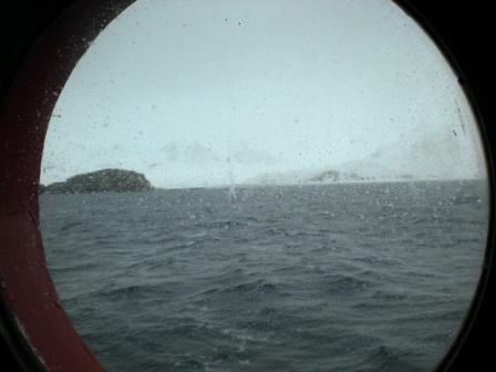
It was a tad frustrating being so close to Prion Island, Albatross Island and Salisbury Plains and not getting ashore. The coast and islands are well covered in tussock and there are many glaciers to be seen including one at the end of a Fjord called Sea Leopard Fjord.
The day at anchor was spent organizing photos and reading a book getting a bit of sleep before three trawls on Wednesday night/Thursday morning. The first two were done by 9:30pm allowing a long period of sleep before the third at 5:30am. Thursday night/Friday morning involved another three trawls but the first didn’t start till almost 10pm so the second was a 1am and the third at 5:30am. There was a light snow falling during the trawls so maybe KEP had some snow fall. I thought the first would result in a large amount of krill as we were in amongst the krill trawling fleet of three but there was only a small amount. We did get another large Nuda ctenophore and another comb shaped organism.
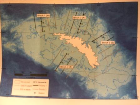
I should explain that there are 4 blocks as it were of surveys one to the south of the island the rest to the north. The one in the south is rarely done due to the weather normally not being conducive and it being a long way to go. The other three are spaced one near Bird Island one off the Bay of Islands and one off Cumberland Bay. Each block has two transects which run for 30 miles perpendicular to the shore each of these transects are 15 miles of so apart. So at night the vessel does trawls spaced one in the middle of one transect and one each on the ends of each transect. Being as they are 15 miles apart it takes around 1.5 and 2 hours to travel from one to the other. Each trawl is 30 minutes in length and is done at a boat speed of around 2 knots. During daylight hours the bird survey is done on the same transect however, both transects are done in the block. The bird and trawl data is then used together – one set of data on its own is not that useful. The trawl samples I took are all safely in pots preserved with ethanol and labelled up. These will be analysed back at base in the lab where the organisms can be identified, weighed, measured and counted.
By Friday late afternoon Ali was done with his bird surveys and it was time to head back to KEP before a forecasted windy weather system came in.
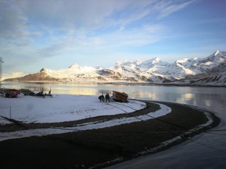
Back just in time for scrub out to be finished. I did ask the captain if he talked to base to put Ali and myself on a chore but the guys handled it all. Katie is now back on base after almost 2 months aboard the toothfish vessel San Aspiring. We are coming to the end of the fishing season with the toothfish fisheries now closed and only a handful of krill vessels still at it so we should have a relatively quite period this month before the first cruise ships arrive for the summer.


